

Why go
The Grand Canal was built to move grain from the productive south to the political capitals of the north. Work began in the 5th century BCE; the Sui emperor Yang consolidated and expanded it into a single 2,700-km system in 605–610 CE. The canal remained China's main transport artery until railways displaced it in the 20th century.
UNESCO inscribed the canal in 2014 as a serial property — a string of historic sections, locks, bridges and canal-side towns from Beijing to Hangzhou. The canal is still navigable today, and its southern half remains a working waterway.
- Hangzhou — the southern terminus and the Gongchen Bridge area
- Suzhou — canal quarters, stone bridges and Pingjiang Road
- Yangzhou — historic salt-trade hub and the Slender West Lake
- Tongzhou — the northern terminus near Beijing
Where to go
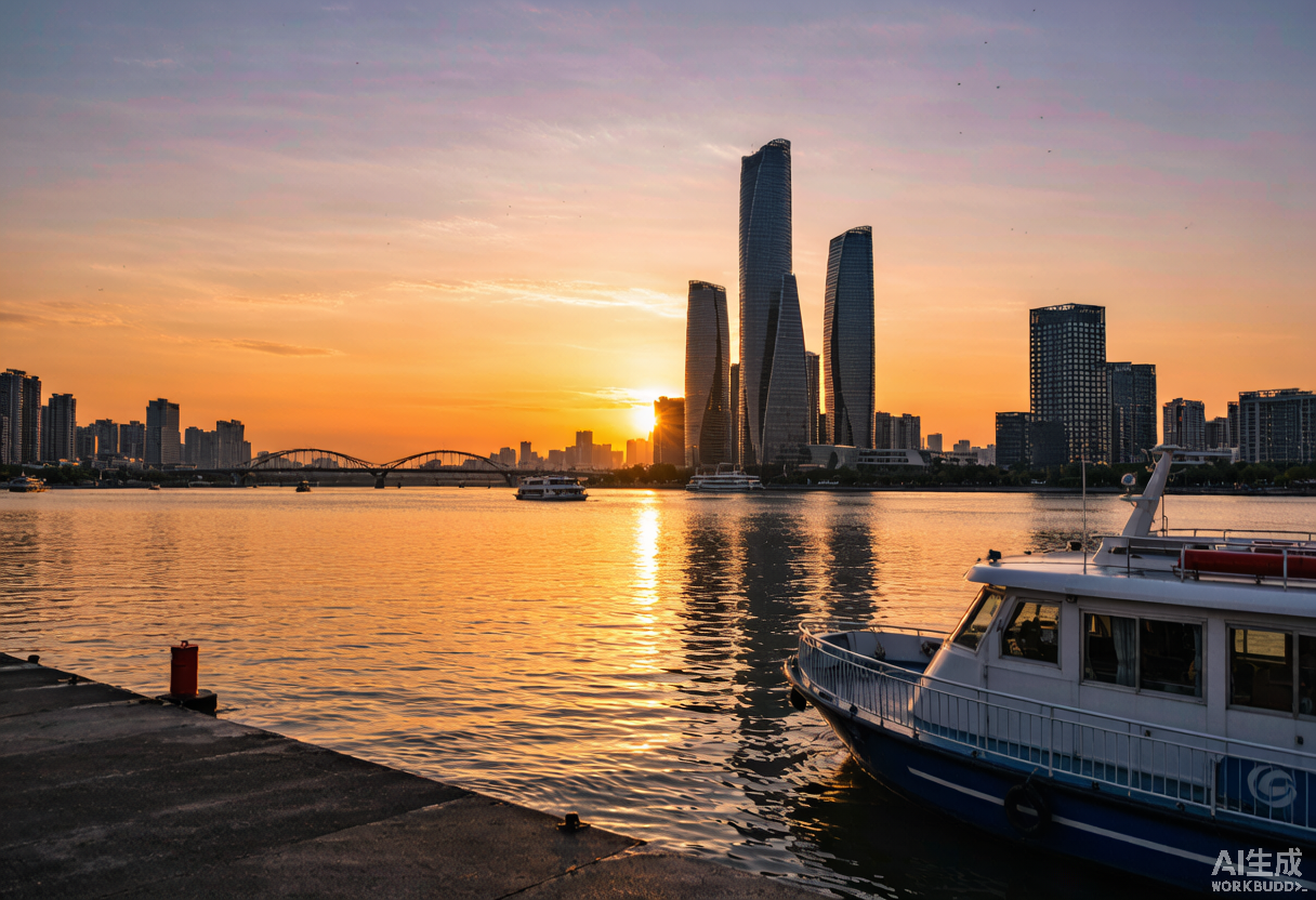
In Hangzhou, walk the Gongchen Bridge area on the Shangri-La Canal — restored Qing-era warehouses now hold museums and teahouses. A water bus runs along the urban canal for a short cruise.
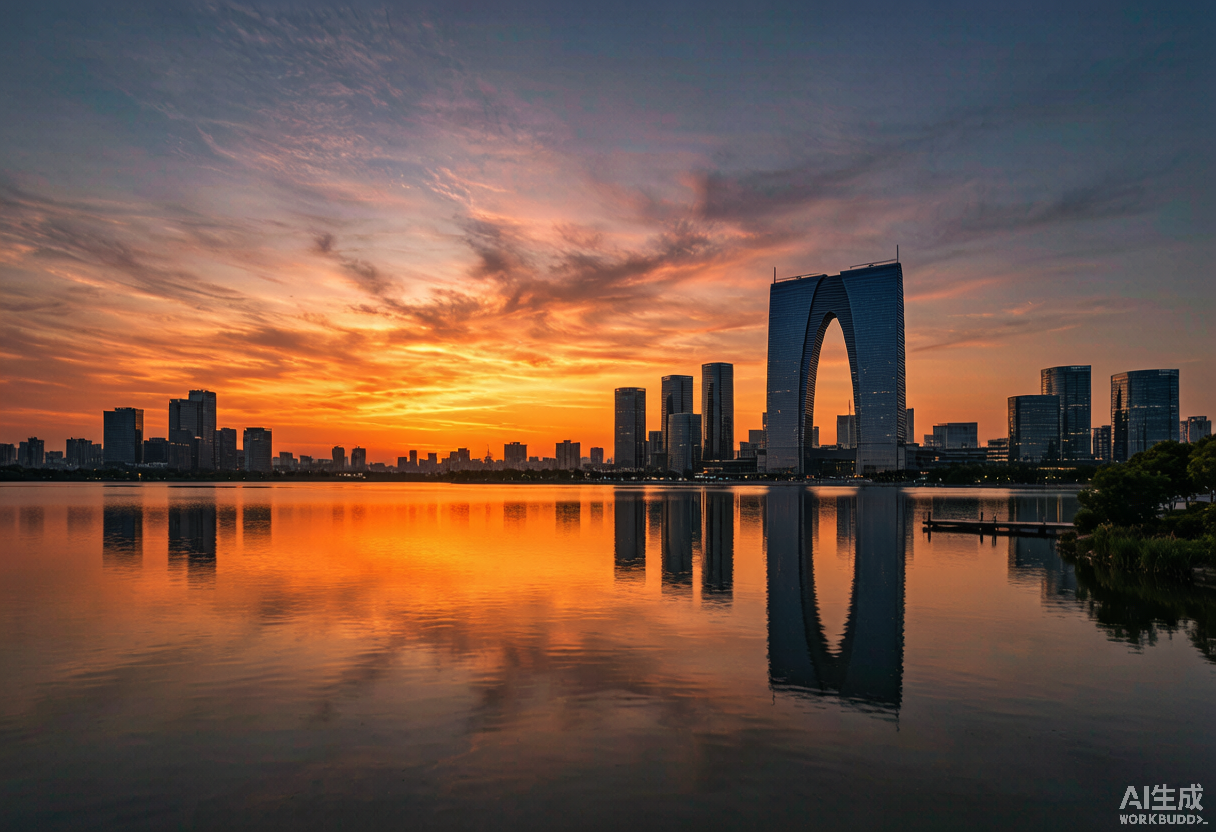
In Suzhou, the Pingjiang Road canal quarter preserves stone bridges and canal-side houses. Take an evening boat ride through the old town to see lanterns reflecting on the water.
Yangzhou, the historic salt-trade capital, has the Slender West Lake — a canal-era landscape garden — and the canal-side Dongguan Street. For a northern contrast, the Beijing terminus at Tongzhou has a new canal park and museum.
Practical notes
Don't try to 'do' the canal in one trip — pick one or two cities. The southern (Jiangnan) section between Yangzhou and Hangzhou is the most rewarding for visitors: scenic, historic and still working.
Getting there
- High-speed train to Hangzhou, Suzhou or Yangzhou
- Local water buses and cruise boats at each city
- Length
- 1,776 km (originally longer)
- Consolidated
- Sui dynasty, 605–610 CE
- UNESCO
- World Heritage since 2014